

At GEO Builder, we specialize in providing precise and reliable land survey solutions across Bangladesh. As a leading building construction and land survey company, we understand the critical role that accurate measurements play in any development project. Whether you are planning a new building, mapping out infrastructure, or managing land resources, our team delivers high-quality results tailored to your needs.
Land survey forms the foundation of successful projects, ensuring every detail is captured with modern technology. In Bangladesh, where rapid urbanization demands efficiency, digital methods have transformed traditional practices. We combine expertise with advanced tools to offer services that meet both public and private sector requirements.
What is a Digital Land Survey? The Modern Evolution
The traditional image of a surveyor with a theodolite and measuring tape has been revolutionized. A digital land survey is the contemporary standard, leveraging advanced electronic and satellite-based technology to capture, process, and present land data with unparalleled speed and accuracy. Instead of manual notes and hand-drawn sketches, we use sophisticated instruments that record data points digitally, creating a rich, three-dimensional dataset of the site.
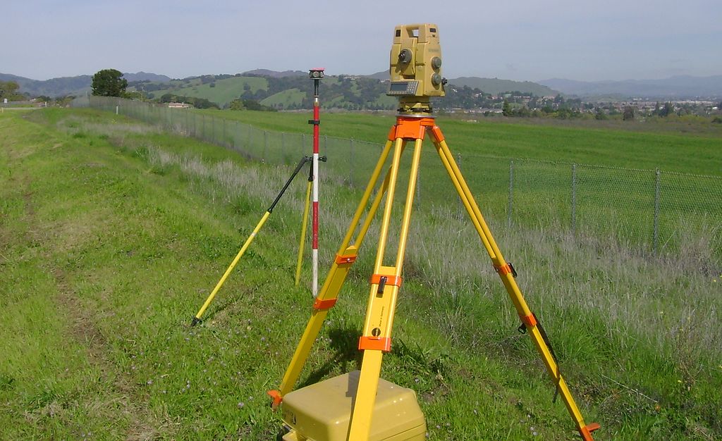
This digital approach offers transformative advantages. The data collected is not just lines on a page; it is a dynamic model that can be integrated into Building Information Modeling (BIM) software, used for volumetric calculations, and analyzed for a multitude of engineering purposes. The final output is not just a map, but a comprehensive digital package including coordinates, elevations, topographical features, and high-resolution imagery, all delivered in formats ready for immediate use by your design and construction teams. GEO Builder is at the forefront of this digital evolution, ensuring our clients receive the most accurate and useful data available.
The Evolution to Digital Land Survey in Bangladesh
Traditional surveying relied on chains, tapes, and theodolites, which were time-consuming and prone to human error. Digital land survey in Bangladesh has shifted to GPS, drones, and software that process data in real-time. This change has made services more accessible and precise. In regions like Dhaka Division, where land is at a premium, digital methods help in efficient resource allocation. GEO Builder has been at the forefront, adopting these technologies to serve clients nationwide. For instance, in a recent project in Badda, we conducted a digital land survey that identified subtle elevation changes, preventing potential flooding risks for a new commercial building.
Table: Comparison of Survey Types
|
Survey Type |
Key Features |
Applications in Bangladesh |
Accuracy Level |
|
Topographic Survey |
Maps terrain features and elevations |
Infrastructure planning, urban development |
High (cm level) |
|
RTK GPS Survey |
Real-time satellite positioning |
Boundary mapping, agriculture |
Very High (mm level) |
|
Contour Survey |
Elevation lines and leveling |
Drainage design, site grading |
High |
|
Hydrographic Survey |
Underwater mapping |
River and coastal projects |
Medium to High |
|
Pipeline Survey |
Route alignment and terrain analysis |
Utility installations |
High |
|
Transmission Line |
Corridor mapping |
Power grid expansions |
High |
|
Road Survey |
Alignment and cross-sections |
Highway construction |
High |
|
Township Survey |
Plot division and planning |
Residential developments |
High |
|
Railway Survey |
Track gradients and curves |
Rail network extensions |
Very High |
|
Bridge Survey |
Site evaluation and bathymetry |
Bridge constructions |
High |
|
GIS Survey |
Spatial data layering |
Urban planning and resource management |
High |
|
Drone Land Survey |
Aerial imaging |
Remote area mapping |
High |
This table illustrates how each service fits different needs, helping you select the right one for your project.

Topographic Survey: Painting a Detailed Picture of Your Land
A topographic survey is one of the most fundamental services we provide. It goes beyond simply measuring property boundaries. A topographic survey maps all the natural and man-made features of a piece of land, including buildings, roads, trees, rivers, elevation changes, and utility lines. The result is a detailed map that shows the contours, relief, and configuration of the ground surface.
Why is it crucial? For any architect or civil engineer, this information is vital. It forms the basis for site planning, grading design, and drainage solutions. For example, when designing a residential complex in Chattogram, a topographic survey from
GEO Builder will identify the natural slopes, allowing engineers to design a drainage system that prevents flooding and soil erosion. It helps in positioning buildings to take advantage of views while avoiding flood-prone areas, ultimately saving high costs and preventing future problems. Our digital topographic survey services provide this critical data with millimeter precision, creating a reliable foundation for your entire project.
RTK GPS Survey: Unmatched Speed and Accuracy
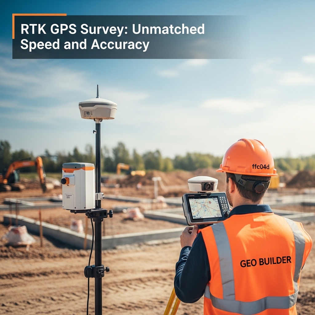
Real-Time Kinematic (RTK) GPS surveying represents a quantum leap in survey technology. This method uses a network of satellites and a base station to correct satellite signals in real-time, allowing our surveyors to pinpoint locations on the earth’s surface with centimeter-level accuracy, instantly.
The applications for our RTK GPS survey services are vast. It is the ideal solution for large-scale projects where speed and precision are paramount. For instance, in a major road survey project connecting two districts, our team can use RTK GPS to quickly establish control points and gather thousands of data points along the proposed route in a fraction of the time it would take with traditional methods. This technology is also indispensable for control surveys, which establish a network of highly accurate reference points that all other survey activities on a large site can be based upon. By choosing GEO Builder, you leverage this powerful technology to accelerate your project timeline without compromising on data quality.
Contour & Leveling Survey: Mastering the Vertical Dimension
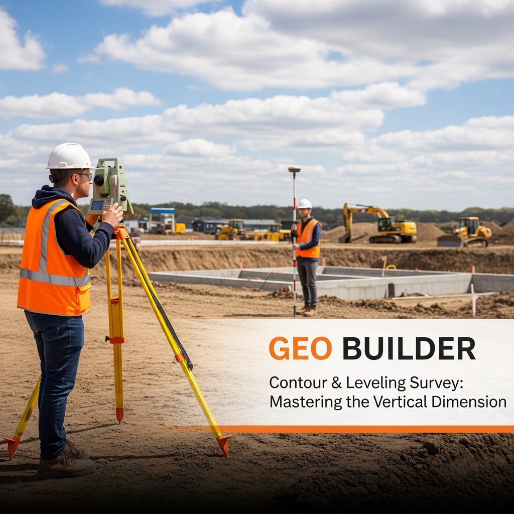
Understanding the vertical aspect of your land—its slopes and elevations—is just as important as knowing its horizontal boundaries. This is where contour and leveling surveys come into play. A contour survey involves creating lines on a map that connect points of equal elevation. These contour lines provide a clear visual representation of the land’s shape, steepness, and water flow patterns.
Leveling in surveying is the precise process of determining the height of points relative to a datum, such as mean sea level. Our team uses advanced auto level survey instruments and digital levels to perform this task with extreme accuracy. The characteristics of contour in a survey report, such as the spacing and shape of the lines, tell an experienced engineer everything they need to know about the site’s topography. For a client planning a large industrial plant, our contour and leveling survey report would be essential for designing a flat foundation, planning access roads, and ensuring that the entire site has adequate drainage. We provide clear, easy-to-understand contour maps and detailed leveling data that are critical for any earthworks or engineering design.
Hydrographic Survey: Navigating Bangladesh’s Waterways
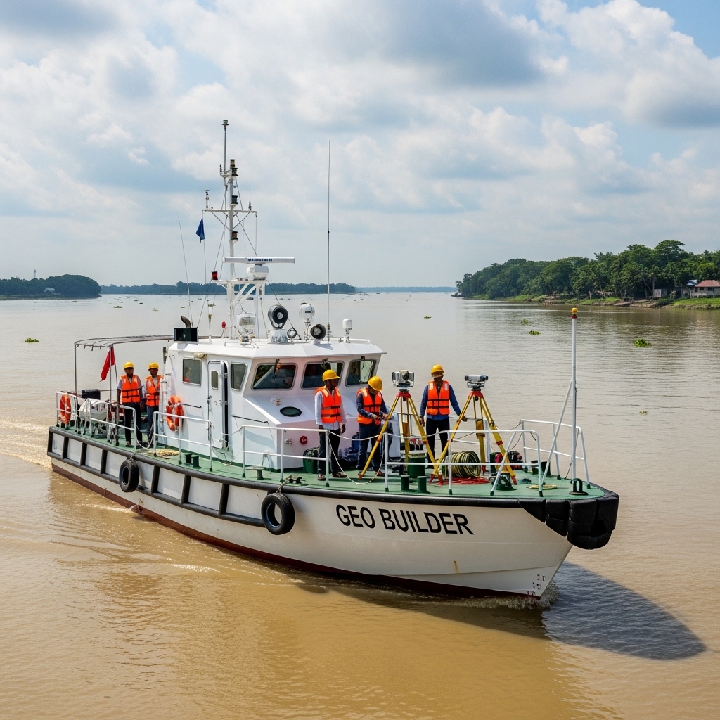
With its extensive network of rivers, canals, and a long coastline, Bangladesh requires specialized expertise for projects involving water. A hydrographic survey is the science of mapping and describing features beneath and adjacent to a body of water. GEO Builder provides hydrographic survey services to support projects like bridge construction, port development, and pipeline installation across rivers.
Using specialized sonar equipment and GPS, we can accurately map the water depth (bathymetry), locate underwater obstructions, and map the riverbed or seabed profile. For a bridge survey over the Padma River, for instance, our hydrographic team would provide detailed data on the riverbed’s depth and composition at the proposed bridge pier locations. This information is critical for foundation engineers to design safe and stable piers that can withstand the river’s powerful currents. Our hydrographic survey services ensure that your projects over or near water are built on a foundation of reliable underwater data.
Pipeline Survey and Transmission Line Survey
Infrastructure development in Bangladesh increasingly requires precise pipeline surveys and transmission line surveys to plan and construct utility corridors safely and efficiently. GEO Builder conducts detailed route surveys for natural gas pipelines, water supply mains, power transmission lines, and telecommunications infrastructure.
Our pipeline survey services include route reconnaissance, topographic profiling, cross-section surveys, and obstacle identification. For transmission line surveys, we map tower locations, measure span distances, assess terrain clearances, and prepare alignment drawings that guide construction teams.
Using RTK GPS and Total Station technology, GEO Builder ensures that every utility corridor is precisely located and documented before a single trench is dug or a single tower is erected.

Road Survey and Railway Survey Services
Road and railway infrastructure projects require some of the most thorough survey work in the construction industry. A road survey must capture horizontal alignment, vertical profile, cross-sections, drainage features, and existing utilities along often lengthy corridors. A railway survey adds the complexity of gradient limitations, curve radii restrictions, and interoperability with signaling and electrification infrastructure.
GEO Builder has extensive experience in road surveys for national highways, district roads, and urban street networks in Bangladesh. Our railway survey work has supported feasibility studies and engineering designs for both new rail alignments and existing track rehabilitation projects. We use RTK GPS for control and Total Station instruments for detailed cross-section capture, producing complete alignment reports and digital design data sets for our clients.

Bridge Survey in Bangladesh
A bridge survey, including the increasingly relevant digital topographic survey for bridge in Bangladesh, is a specialized form of land and structural survey that assesses both the physical terrain at a bridge crossing location and the geometric parameters of any existing bridge structure. GEO Builder provides full bridge survey services including approach road surveys, riverbed bathymetric surveys, abutment and pier location surveys, and structural geometry measurements.
For example, when a government agency plans to replace an aging bailey bridge over a river in Barisal Division, GEO Builder is called in first. Our team conducts a combined topographic and hydrographic survey of the river crossing, maps the existing bridge precisely using Total Station measurements, and prepares a comprehensive digital topographic survey report that provides engineers with everything they need to design the replacement structure. This integrated approach reduces design time and eliminates costly site revisits during the engineering phase.
GIS Survey: Integrating Data for Intelligent Planning
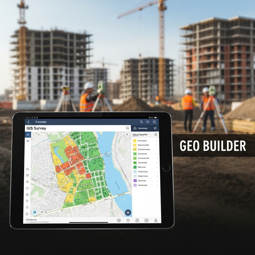
Geographic Information System (GIS) survey is about more than just collecting data; it is about integrating and analyzing various layers of spatial information to provide intelligent insights. A GIS survey combines land survey data with other information, such as property ownership records, environmental data, and utility maps, into a single, powerful system.
GEO Builder offers expert GIS survey services that are invaluable for urban planning, environmental management, and large-scale asset management. For a municipal authority, we can create a GIS map that layers property boundaries (from a cadastral survey), utility lines (from a pipeline survey), and topographical data. This integrated map allows planners to visualize the impact of a new development, identify potential conflicts with existing infrastructure, and make better-informed decisions. Our land planning services are enhanced by our GIS capabilities, allowing us to deliver not just data, but actionable intelligence.
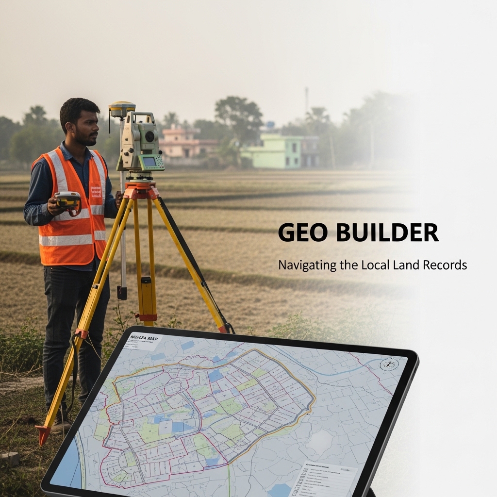
Mouza Map Survey Service: Navigating the Local Land Records
In Bangladesh, the official land records are often maintained in the form of Mouza maps. These are detailed cadastral maps that show individual land parcels within a specific Mouza, an administrative unit for land revenue. A Mouza map survey service involves correlating the physical land on the ground with the official records in the Mouza map.
This service is critical for resolving land ownership disputes, verifying property boundaries before purchase, and for any project requiring a clear understanding of legal land titles. The team at GEO Builder has extensive experience working with these local records. We can conduct a physical survey, prepare a modern digital map, and align it with the official Mouza map. This provides our clients with a clear, legally defensible document that bridges the gap between historical records and the current reality on the ground, a crucial service for any real estate or large-scale development project.
Drone Land Survey: A New Perspective on Your Project
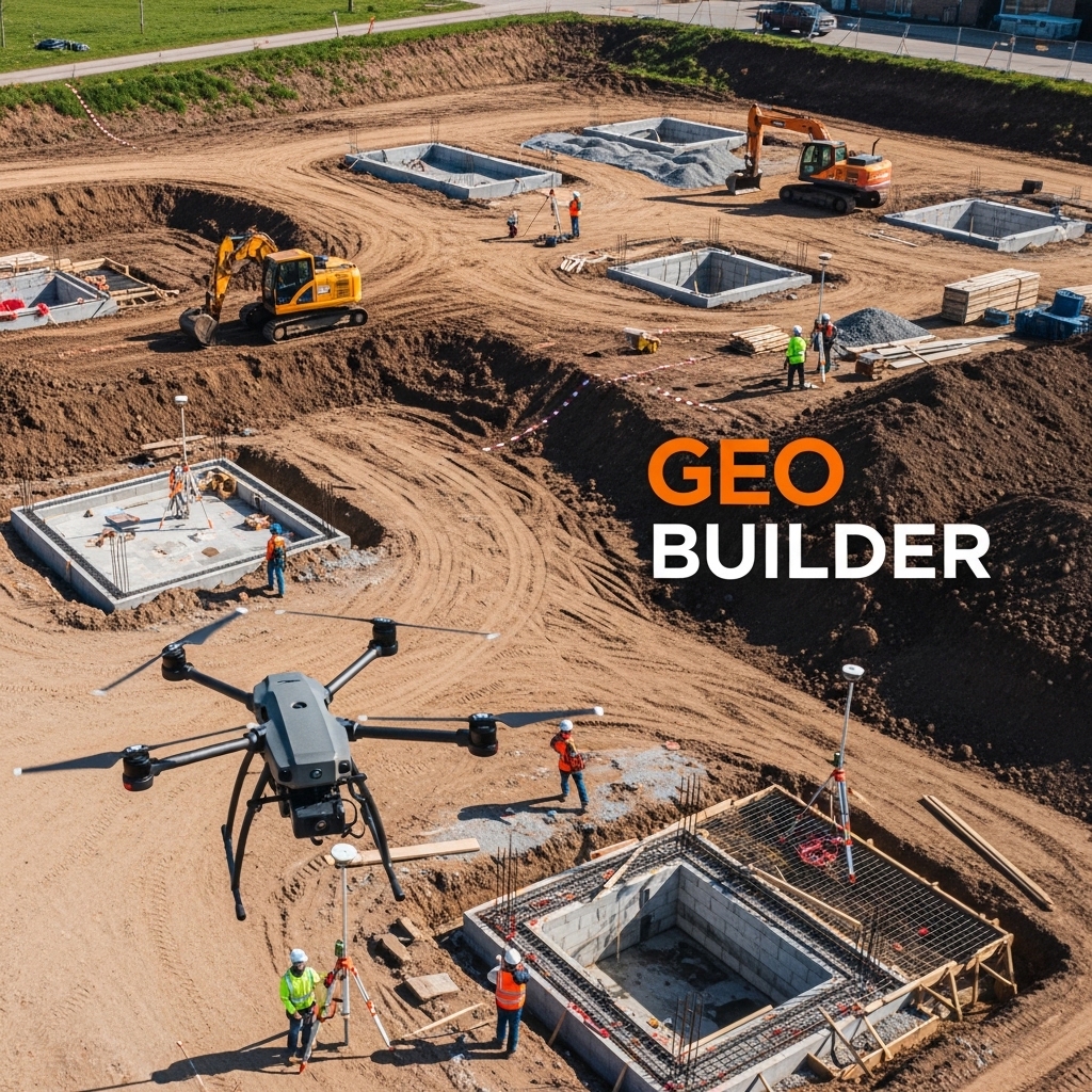
For projects covering large areas or difficult terrain, drone land survey offers a revolutionary new perspective. Using Unmanned Aerial Vehicles (UAVs) equipped with high-resolution cameras and LiDAR sensors, we can capture vast amounts of data from the air with incredible speed.
Drone surveys are exceptionally useful for creating highly detailed topographic maps, monitoring construction progress, and conducting volumetric calculations for stockpiles or excavations. For a mining operation or a large earthworks project, a drone survey by GEO Builder can map the entire site in a few hours, a task that would take weeks using traditional ground-based methods. The resulting data can be processed to create 3D models of the site, providing invaluable insights for project management and planning. This technology makes surveying safer, faster, and more cost-effective for large and complex sites.
The Technology Behind Our Precision
The accuracy of our land survey services is a direct result of the advanced technology we employ. At GEO Builder, we have invested in a comprehensive suite of state-of-the-art survey equipment to ensure we can meet the most demanding project requirements. Our toolkit includes:
- Total Stations: These are electronic theodolites integrated with an electronic distance measurement (EDM) device. They are the workhorses of modern surveying, used for measuring angles and distances with high precision for tasks like building construction surveys and detail mapping.
- GNSS/GPS Receivers: Our suite of Global Navigation Satellite System (GNSS) receivers, including RTK GPS systems, allows us to capture coordinate data with centimeter-level accuracy by connecting to satellite constellations like GPS, GLONASS, and Galileo.
- Digital Levels and Auto Level Survey Instruments: For precise leveling work, we use digital levels that provide accurate height readings, eliminating human error and increasing efficiency for tasks like establishing building foundations or monitoring structural settlement.
- UAVs/Drones: Our fleet of drones is equipped with RGB cameras for photogrammetry and LiDAR sensors for penetrating vegetation to capture the ground surface beneath. This makes them ideal for topographic surveys in vegetated areas.
- Hydrographic Equipment: For our underwater surveys, we use side-scan sonar and single-beam or multi-beam echo sounders to create detailed maps of the seabed or riverbed.
- Advanced Software: Data is only useful if it can be processed and presented effectively. We use industry-leading software like AutoCAD Civil 3D, Trimble Business Center, and various GIS platforms to process raw field data, create 3D models, and generate final, professional-quality maps and reports.
By combining this cutting-edge technology with the expertise of our team, GEO Builder stands as a survey firm with advanced machines, ready to tackle any challenge.

The GEO Builder Land Survey Process: From Consultation to Completion
We believe in making the land survey process transparent and straightforward for our clients. When you partner with GEO Builder, you can expect a clear, structured process designed to deliver results efficiently.
Step 1: Initial Consultation and Project Scoping
Our engagement begins with a thorough consultation. We listen to your project requirements, objectives, and challenges. Our land survey consultants work with you to define the precise scope of the survey needed, whether it is a simple boundary survey or a complex topographic and GIS survey for a large township.
Step 2: Planning and Research
Before setting foot on site, our team conducts extensive research. We review existing plans, historical maps, and land records, including Mouza maps. This preliminary work helps us understand the context of the site and plan the fieldwork effectively.
Step 3: Field Data Acquisition
This is where our surveyors put their expertise and technology to work. Our team mobilizes to the site with the appropriate survey equipment. They establish control points, capture topographical data, and record all necessary features. Safety and efficiency are paramount during this phase.
Step 4: Data Processing and Analysis
Back in the office, the raw data collected in the field is downloaded, processed, and analyzed by our expert team. This is a critical step where the data is checked for accuracy, cleaned, and modeled using our advanced software. We transform thousands of individual data points into a coherent and intelligent dataset.
Step 5: Map Creation and Reporting
We then create the final deliverables based on your needs. This could be a detailed 2D topographic map in AutoCAD, a 3D surface model, a comprehensive contour survey report, or a multi-layered GIS map. Every report we produce is clear, accurate, and meets all professional and legal standards.
Step 6: Delivery and Support
We deliver the final maps and reports to you in your preferred digital format. Our commitment does not end there. We are available to walk you and your team through the findings, explain the data, and provide ongoing support as your project progresses.
Why Choose GEO Builder as Your Land Survey Company in Bangladesh?
In a competitive market, you have choices. Here is why GEO Builder is the preferred partner for land surveying and land planning services in Bangladesh for a diverse range of clients.
- Unwavering Commitment to Accuracy: We understand that every millimeter counts. Our rigorous quality control processes and investment in the best technology ensure that the data we provide is consistently accurate and reliable.
- Comprehensive Service Portfolio: From a simple building construction survey to a complex GIS and hydrographic survey, we offer a complete range of services under one roof. This integrated approach saves you time and the hassle of coordinating with multiple vendors.
- Deep Local Knowledge: We are not just an international firm operating in Bangladesh; we are a Bangladeshi company with deep roots. We understand the local regulations, the intricacies of the land record system, and the unique geographical challenges of the country. This local expertise is invaluable.
- Proven Track Record: We have successfully executed numerous Bangladesh land survey projects for both the public and private sectors. Our portfolio includes projects for major real estate developers, government infrastructure bodies, industrial clients, and individual landowners.
- A Team of Experts: Our team is our greatest asset. We have skilled land surveyors, experienced engineers, and savvy GIS specialists who are passionate about what they do. We are not just technicians; we are problem-solvers dedicated to helping you achieve your project goals.
- Client-Centric Approach: We build lasting relationships with our clients by being responsive, transparent, and dedicated to their success. Your project’s success is our success.
Why Digital Land Surveying Matters for Bangladesh
Bangladesh is one of the most densely populated countries in the world, with rapid urbanization, expanding infrastructure networks, and growing pressure on land resources. Accurate land measurement and mapping has never been more critical. Here is why digital land survey services have become a cornerstone of modern development in Bangladesh:
Legal Protection: Properly conducted surveys provide documented proof of land boundaries, helping resolve property disputes and facilitating legal land registration.
Infrastructure Accuracy: Road surveys, railway surveys, and pipeline surveys require millimeter-level precision that only digital instruments can deliver consistently.
Urban Planning Support: GIS surveys and topographic surveys feed directly into master plans, zoning maps, and city development models used by municipalities and planners.
Environmental Awareness: Hydrographic surveys and contour surveys help engineers understand water flow, flood risk, and ecological sensitivity before breaking ground.
Time and Cost Efficiency: Digital methods reduce fieldwork time, minimize human error, and produce deliverables faster than conventional survey approaches.
About GEO Builder – A Trusted Land Survey Company Bangladesh
GEO Builder is a professional building construction and land survey company in Bangladesh. We combine technical expertise with advanced survey equipment to deliver reliable survey solutions.
As a leading Survey Firm in Bangladesh, we focus on:
- Accuracy
- Transparency
- Professional reporting
- Timely project delivery
- Modern survey technology
Our survey engineers and technicians are trained in handling RTK GPS systems, total stations, drone-based mapping, and GIS platforms. We work on small residential plots as well as large infrastructure projects such as roads, bridges, railways, and transmission lines.
We understand the local land structure, Mouza records, government regulations, and development challenges. This knowledge allows us to provide practical and legally sound Land Planning Services.
Our Proven Land Survey Process: Your Blueprint for Certainty
Accuracy does not happen by chance. It comes from a disciplined system, skilled professionals, and the right technology working together. At GEO Builder, every Land Survey project in Bangladesh follows a clear and structured process. This ensures that our Digital Land Survey services deliver precise measurements, reliable documentation, and practical value for construction, land development, and legal purposes.
Below is how we maintain quality at every stage.
Initial Consultation and Requirement Analysis
Every successful survey begins with understanding the purpose. Land measurement for a residential building is very different from a railway survey or transmission line survey. During the initial consultation, we sit with the client and gather detailed information about the project.
We discuss:
- Project type and location
- Required survey type such as topographic survey, contour survey, or GPS survey
- Land size and complexity
- Timeline expectations
- Documentation needs
This stage helps us determine the right survey methodology and equipment. For example, a large township survey may require RTK GPS and drone mapping, while a smaller plot may need total station and auto level survey.
By clearly defining objectives at the beginning, we avoid confusion later and ensure that the final survey report aligns perfectly with engineering, architectural, or legal requirements.
Site Inspection
Before starting technical measurements, our survey engineers conduct a physical site inspection. This step is crucial in Bangladesh where land conditions can vary significantly. Some sites may have uneven terrain, water bodies, dense structures, or access limitations.
During site inspection, we assess:
- Ground condition and accessibility
- Existing structures and utilities
- Natural features such as slopes, canals, or trees
- Boundary markers or reference points
- Safety considerations
This helps us plan equipment placement and determine control point locations. For example, if the land includes elevation variation, we prepare for detailed contour and leveling survey work. If the site is near a river, hydrographic survey support may be required.
A proper inspection ensures smooth fieldwork and reduces unexpected delays.
Equipment Setup and Control Point Establishment
Accuracy in Digital Land Survey depends heavily on control points. These are fixed reference positions used to ensure measurement consistency across the entire site.
At this stage, we:
- Establish primary and secondary control points
- Set up RTK GPS base stations when required
- Calibrate total station and auto level machines
- Verify coordinate systems
Control points act like anchors. They ensure that every measurement taken on site connects accurately to a defined coordinate system. For infrastructure projects such as road survey or bridge survey, control accuracy is critical.
As a Survey Firm with Advanced Machines, we use high precision instruments to maintain measurement integrity. Proper setup at this stage directly affects the reliability of the final survey data.
Data Collection Using Digital Tools
This is where the core survey work begins. Our team collects field data using advanced equipment tailored to the project type.
Depending on requirements, we use:
- RTK GPS Survey systems for boundary and control
- Total stations for detailed mapping
- Drone land survey for aerial imaging
- Auto level and digital level for elevation measurement
- Sonar equipment for hydrographic survey
During this stage, we capture:
- Land boundaries
- Elevation points
- Natural features
- Man made structures
- Road alignment or route data
For example, in a Digital Topographic Survey Bangladesh project, thousands of elevation points may be collected to create accurate contour lines. In a building construction survey, precise layout points are marked for column positioning.
All data is recorded digitally to minimize human error and ensure efficiency.
Data Processing and Mapping
Once field data collection is complete, the next step is processing and mapping. Raw data alone has limited value. It must be analyzed, verified, and converted into meaningful drawings and reports.
Our technical team processes data using advanced software platforms. This stage includes:
- Coordinate verification
- Error correction
- Generation of contour lines
- Creation of topographic maps
- GIS data integration
For contour survey reports, we generate detailed contour intervals that reflect land elevation accurately. For road or transmission line survey, alignment profiles and cross sections are prepared.
Digital processing ensures that the final maps are clear, precise, and easy to interpret for engineers, architects, and planners.
Preparation of Contour Survey Report or Topographic Map
After processing, we prepare formal documentation. Depending on project needs, this may include:
- Contour survey report
- Topographic map
- Boundary demarcation drawing
- Leveling report
- GIS mapping files
- Coordinate data sheets
Every report is organized, labeled, and presented professionally. For construction projects, these documents guide foundation design, drainage planning, and structural layout.
In Bangladesh, where land disputes can arise due to unclear boundaries, professionally prepared survey documentation provides legal clarity and confidence.
Final Documentation and Client Delivery
The final stage focuses on transparency and usability. We provide both digital and printed copies of survey documents as required.
Client delivery may include:
- Soft copy CAD files
- GIS compatible files
- PDF reports
- Printed maps
- Field notes and coordinate lists
We also explain the findings to ensure the client understands the data. If adjustments or clarifications are needed, we address them promptly.
Each step in our survey process ensures that the final output is precise, practical, and legally reliable. From consultation to final delivery, GEO Builder maintains professional standards that support safe construction, accurate land development, and long term project success in Bangladesh.
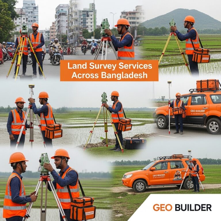
Land Survey Services Across Bangladesh
GEO Builder operates as a full-service land survey company Bangladesh with the capability to mobilize to any district in the country. We are headquartered and well-established as a survey company Dhaka, with field operations experience in urban, semi-urban, and rural environments across all eight divisions of Bangladesh.
Whether your project is located in the busy commercial areas of Badda, the rapidly developing peri-urban zones of Gazipur and Narayanganj, the flood-prone char lands of northern Bangladesh, or the hilly terrain of the Chittagong Hill Tracts, GEO Builder has the logistical capability and technical expertise to conduct accurate digital land surveys that deliver the data quality your project demands.
As a leading land measurement and mapping service provider, we understand that every location in Bangladesh presents its own surveying challenges. Flood-prone areas require careful datum selection and hydrological awareness. Urban areas demand careful traffic management and night-time survey capability. Char lands and riverine zones require special equipment deployment planning. GEO Builder plans and executes every survey assignment with these site-specific factors in mind.
1
What is a digital land survey?
|
A digital land survey uses advanced instruments like RTK GPS, Total Station, GIS software, and drones to collect, process, and present land data in digital formats. It replaces traditional paper-based methods with precise, computer-generated maps and reports. |
2
Why choose GEO Builder for digital land survey in Bangladesh?
|
GEO Builder brings years of field experience, certified surveyors, and industry-grade survey equipment to every project. We serve both public and private sector clients with accurate, fast, and cost-effective digital survey solutions. |
3
What is the difference between a topographic survey and a contour survey?
|
A topographic survey captures all physical features of the land including structures, water bodies, vegetation, and terrain. A contour survey focuses specifically on elevation data to create contour lines showing land shape and slope gradients. |
4
How long does a digital land survey take in Bangladesh?
|
Survey duration depends on site size and complexity. A small residential plot can be surveyed in one to two days. Larger projects such as road surveys or township surveys may require several weeks including data processing and report preparation. |
5
Do you provide GIS mapping services in Bangladesh?
|
Yes. GEO Builder provides full GIS survey services including geospatial data collection, map digitization, satellite image analysis, and GIS-based land planning support for government agencies and private developers. |
6
What equipment does GEO Builder use?
|
We use RTK GPS receivers, Total Station instruments, Auto Level machines, UAV drones for aerial photography, and specialized GIS and CAD software for data processing and map production. |
7
Can you survey rural or remote areas of Bangladesh?
|
Yes. Our field teams operate across Bangladesh, including rural districts, riverine areas, char lands, and hilly regions. We have experience surveying in challenging terrains with portable, high-precision instruments. |
8
What is a Mouza Map survey?
|
A Mouza Map survey involves measuring and mapping land boundaries according to the traditional Mouza-based land record system of Bangladesh. It is essential for property legal verification, land registration, and dispute resolution. |
9
Do you offer hydrographic survey services in Bangladesh?
|
Yes. GEO Builder provides hydrographic surveys for rivers, canals, ports, and coastal areas. This includes water depth measurement, riverbed profiling, and underwater terrain mapping for navigation and construction planning. |
10
How can I get a quotation for a land survey project?
|
You can contact GEO Builder directly through our website or office. Share your project location, scope, and purpose, and our team will provide a detailed quotation within a short time. |
In conclusion, GEO Builder is your partner for all land survey needs in Bangladesh. With a commitment to excellence, we ensure your projects stand on solid ground. Reach out today to discuss how our digital land survey services can support your vision.